In the morning we go to the airport and fly to Kunashir, the southernmost Kuril Island.
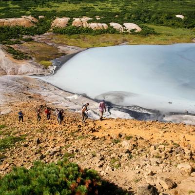
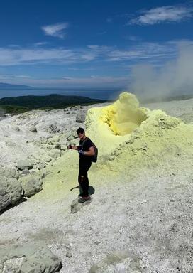
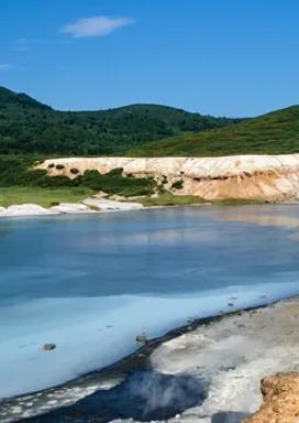
The name means "black island" and indicates its nature — dark coniferous forests, dark soils, and four active volcanoes (three of which we will go to).
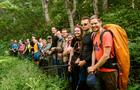
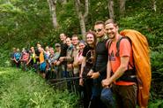
The island's affiliation to Russia is disputed by Japan, which considers it part of its Namuro district. The question of who appeared earlier in the Southern Kuril Islands and, in particular, in Kunashir — the Russians or the Japanese — is still controversial. But, this is history, and you and I, without hesitation, immediately hit the road!
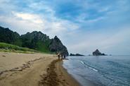
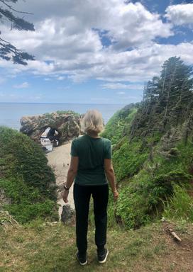
After checking the border passes, we will be dropped off to the Devil's Finger, where we will set up camp.
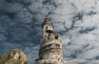
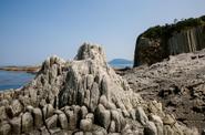
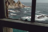
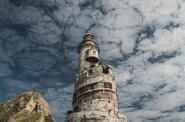
The devil's finger is a kekur, a remnant that looks like a finger. It seems that someone big and gigantic has dived into the sea and is showing an outstretched finger with a sharp nail.
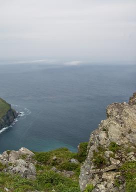
The cliff is completely sheer, the height of the structure is as high as a five-story house. And most importantly, there are no other rocks or cliffs around at all. They say that after the earthquake of 1994, the Devil's finger lost part of its phalanx and lost its former grace, but it is still impressive!
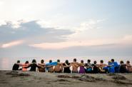
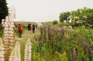
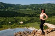
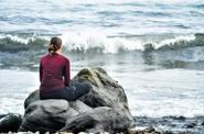
Lunch, radial walk to Cape Sukacheva, return to the camp, dinner and acquaintance.
- flight time is 1.5 hours;
- overnight in a tent;
- there is a connection and mobile Internet;
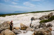
- 4 km without backpacks.