Breakfast.
Stop in the village of Yartsevo.
In 1605, the Ket Cossacks founded a winter camp near the mouth of the Sym River, on the site of which the village of Yartsevo was later formed.
Part of the village's population is Old Believers.
Lunch.
The stop in the village of Vorogovo is one of the southernmost settlements of the Turukhansky district.
Local residents have organized small markets on the marinas.
The goods here are mainly from the "taiga exotics" section - fish, mushrooms, wild berries, mead and the famous blueberry liqueur.
The Osinovsky threshold is located 40 km from the mouth of the Podkamennaya Tunguska River (509-511 km from Krasnoyarsk).
The legendary narrow canyon, which is overcome with great difficulty.
The passage through the threshold is narrow (700 m) and winding.
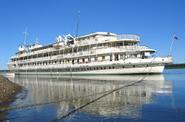
The two steamers cannot separate, and the traffic here is one-way.
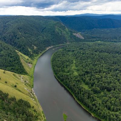
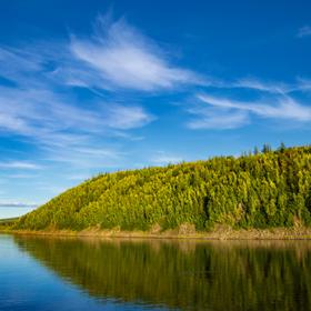
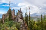
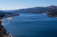
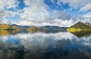
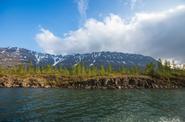
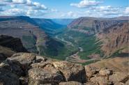
The mighty Yenisei enters the Osinovsky Cheeks, the most picturesque area in the lower reaches of the river.
The high granite shores form a corridor 50 m high.
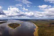
After 20 km from the threshold, two islands appear around the bend.
The first one looks like a ship.
Covered with sparse fishing line and with a single pine tree at the top, it is called "Korablik Island".
It rises 50 m above the water.
Beyond it, 150-200 m away, is the island of Barochka.
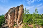
To the left of the Baroque stands the large stone island of the Monastery, overgrown with powerful trees.
In the old days, fugitive monks of the Spassky Monastery were exiled here.
This is one of the most picturesque places on the Yenisei. Immediately after the island, the Yenisei River turns sharply to the left and receives the waters of Podkamennaya Tunguska.
Supper.
The stop in the village of Bor is located on the left bank of the Yenisei, 3 km below the mouth of the Podkamennaya Tunguska River.
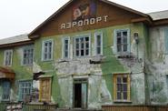
The modern history of the village began in 1946, immediately after the Great Patriotic War, with the construction of an airport on the left, high and steep bank of the Yenisei, opposite the mouth of the Podkamennaya Tunguska River.
The dual-use airport was a strategic transport center, located almost exactly in the center of the USSR and Russia.
An air defense military unit was located on the territory.
Then the village became the center of geological exploration expeditions.
The border of the Central Siberian Nature Reserve is located from the village of Bor at a distance of 60 km, and the first stronghold, the Komsa cordon, is located there.
The administration of the Central Siberian Biosphere Reserve is located in the village of Bor.


