Difficulty category: 1 difficulty category of the tourist route.
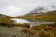
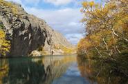
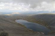
The subjects of the Russian Federation on whose territories the tourist route passes: Murmansk region.
Number of days: 7 days.
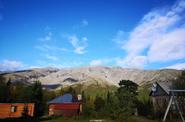
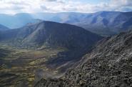
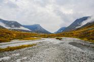
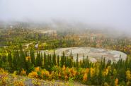
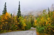
Description of the tourist route (Route option): Imandra Station - Aku-Aku Gorge– Yumyekorr Gorge - Chasnaok Creek - Kuniyok River valley - Yuzhny Chorgorr Pass - Kuelporr Ministry of Emergency Situations base – Petrelius Mountain – Malaya Belaya River Valley – Yudychvumchorr Plateau -Maly Woodyavr Lake valley - Ramzai Gorge - Poachvumyok River-Maly Woodyavr Lake.
The maximum height difference on the tourist route: Total ascent (set) – 3385 m Total descent (drop) – 3149 m Maximum height – 1200 m.
The seasonality of the tourist route: summer hiking – the second half of June, July, August, September.
Length of the tourist route (m, km): 79 km.
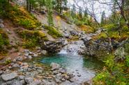
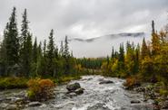
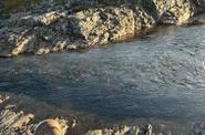
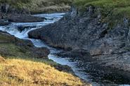
Description of the obstacles on the tourist route: 2 gorges (canyons) - movement on sand, pebbles, grass, stones and scree without insurance, the length of the path in the canyon (or along the press) is more than 200 m; 2 Passes - at least 100 m of the pass take-off, movement is hindered by scree, vegetation, light rocks, which do not require collective insurance; The top is at least 300 m of elevation difference, movement is hampered by scree, vegetation, light rocks; 1 ferry is a simple crossing over rivers with a width of at least 10 m or a depth of at least 0.6 m, it is overcome individually with some difficulties, the "wall" is easy to pass.
Improvement of the route of the tourist route (if available): none.
The list of individual, group equipment and equipment, including personal protective equipment, necessary for the passage of the tourist route: group: awning, boilers, burners, individual: tent, sleeping bag, mat, backpack, trekking poles